


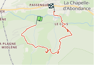

8,2 km | 21 km-effort

Benutzer


Kostenlosegpshiking-Anwendung
 SityTrail
IGN / Geografische Institute
SityTrail World
Die Welt öffnet sich für Sie
Tour Nordic Walking von 4,5 km verfügbar auf Auvergne-Rhone-Alpen, Hochsavoyen, La Chapelle-d'Abondance. Diese Tour wird von Faco vorgeschlagen.
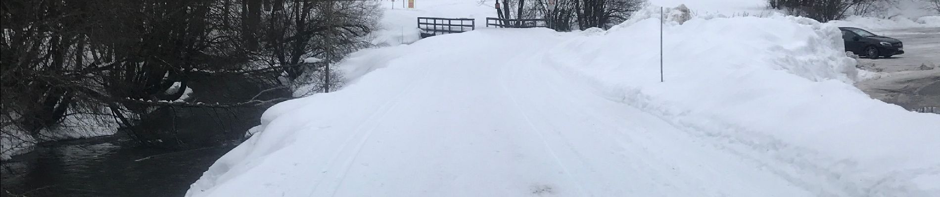
Balade en raquette à partir du bas de la station en empruntant la piste rouge qui part sous les pins sur la droite. Attention pas facile.
L’application a été démarrée 400 m en retard.


Wandern

Wandern

Wandern

Wandern

Wandern

Schneeschuhwandern
Wandern

Wandern

Wandern